On Friday, the United Nations General Assembly adopted a resolution to promote a world map representation that more accurately reflects the real sizes of the continents, notably enlarging Africa and shrinking the United States.
This text, led by the Togo and the African Union and co-sponsored by France, was adopted by 164 votes to 1, with the United States voting against, and six abstentions. The resolution aims to encourage international organizations and states to use cartographic representations of the “Equal Earth” type.
This cartography abandons the so-called Mercator projection named after Gerardus Mercator, a geographer, cartographer, philosopher and theologian born in Flanders in 1512.
His world map was designed for maritime navigation and artificially enlarges territories located at high latitudes. A distortion that “contributes to minimising in the minds of people the size of Africa, Latin America and South Asia, and to perpetuating a skewed view” of the planet, according to the text of the resolution.
With this resolution, the UN officially encourages member states, international institutions and educational venues to drop the globe as we have known it for centuries, where countries near the poles are overrepresented – and conversely, sub-Saharan countries are reduced.
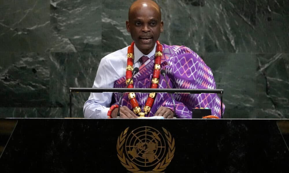
The Togolese foreign minister, Robert Dussey, explained that these biases transmitted from generation to generation have an influence on our collective perceptions and that this unjust representation, in the end, was far larger than cartography, but it concerned cognitive justice, the dignity of peoples, historical memory and the fight against inherited representations.
Europe, China, Russia and the United States thus see their surface reduced by following these guidelines – but only Washington refused to join the overwhelming majority to push the resolution through. A few hours earlier, France had officially announced abandoning the old world map.